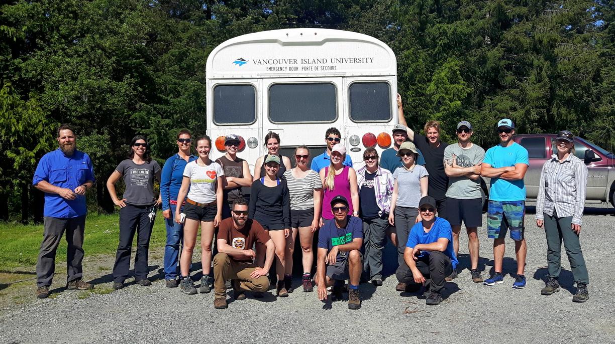
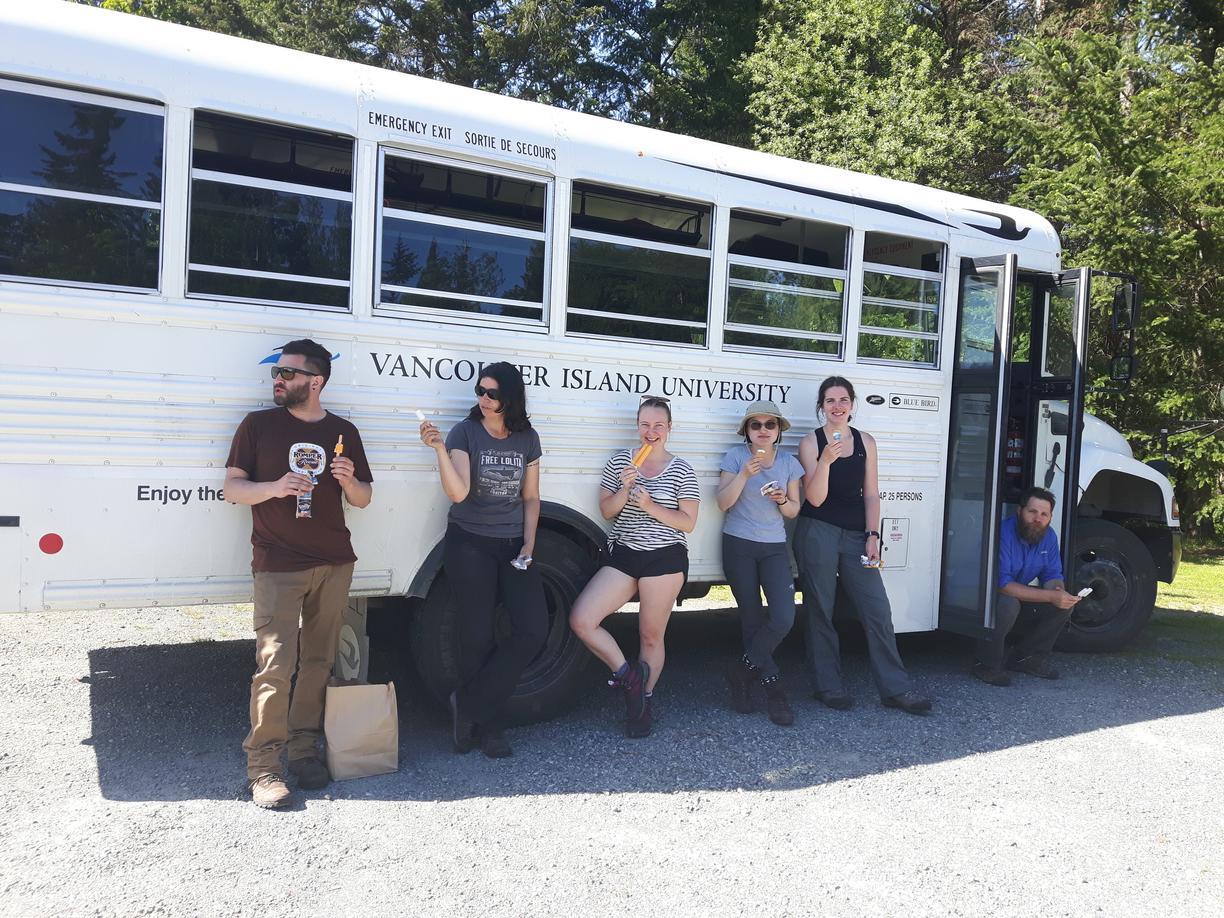
GEOL 206 - Geological Field Methods and Mapping
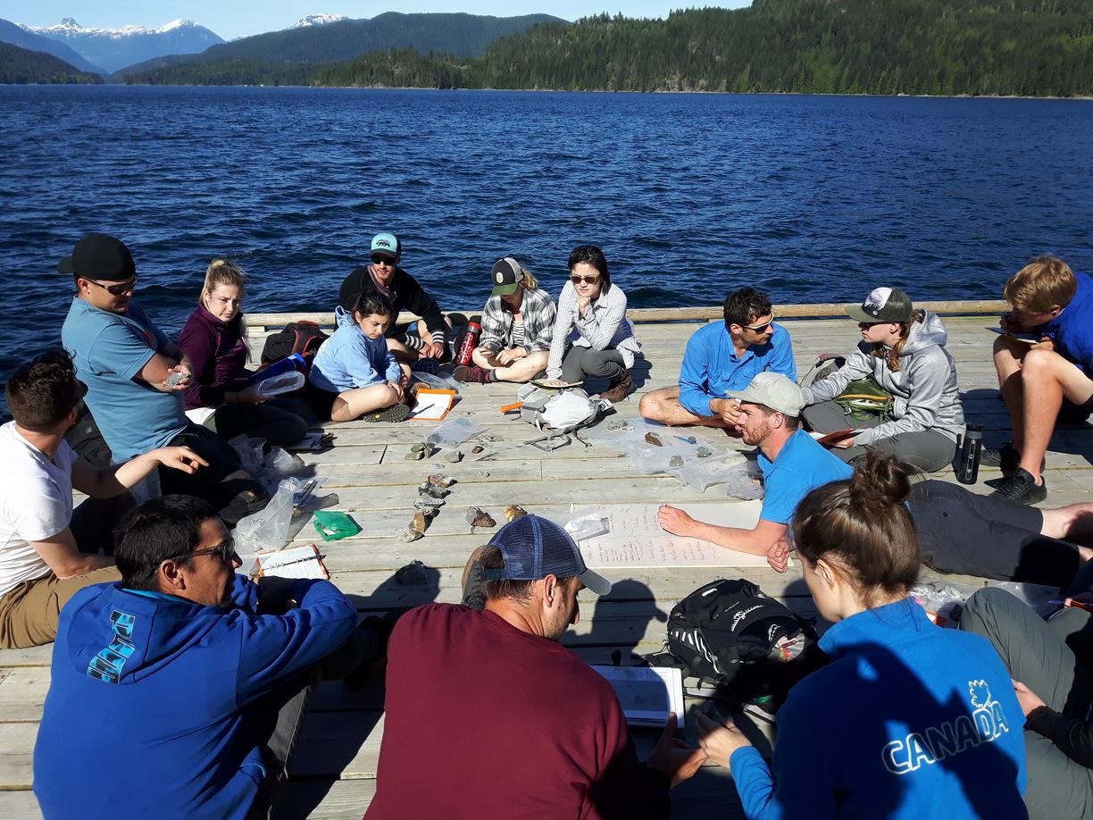
GEOL 206 is a 10-day off-campus course that provides an introduction to field methods and geological mapping. This course gives students an opportunity to apply theoretical knowledge gained in their first two years of study by working on an extended group mapping project. Though specific activities may vary from year-to-year, the course work typically takes place on Quadra Island and various other nearby locales. Students can expect to travel and stay with their classmates for the duration of the course.
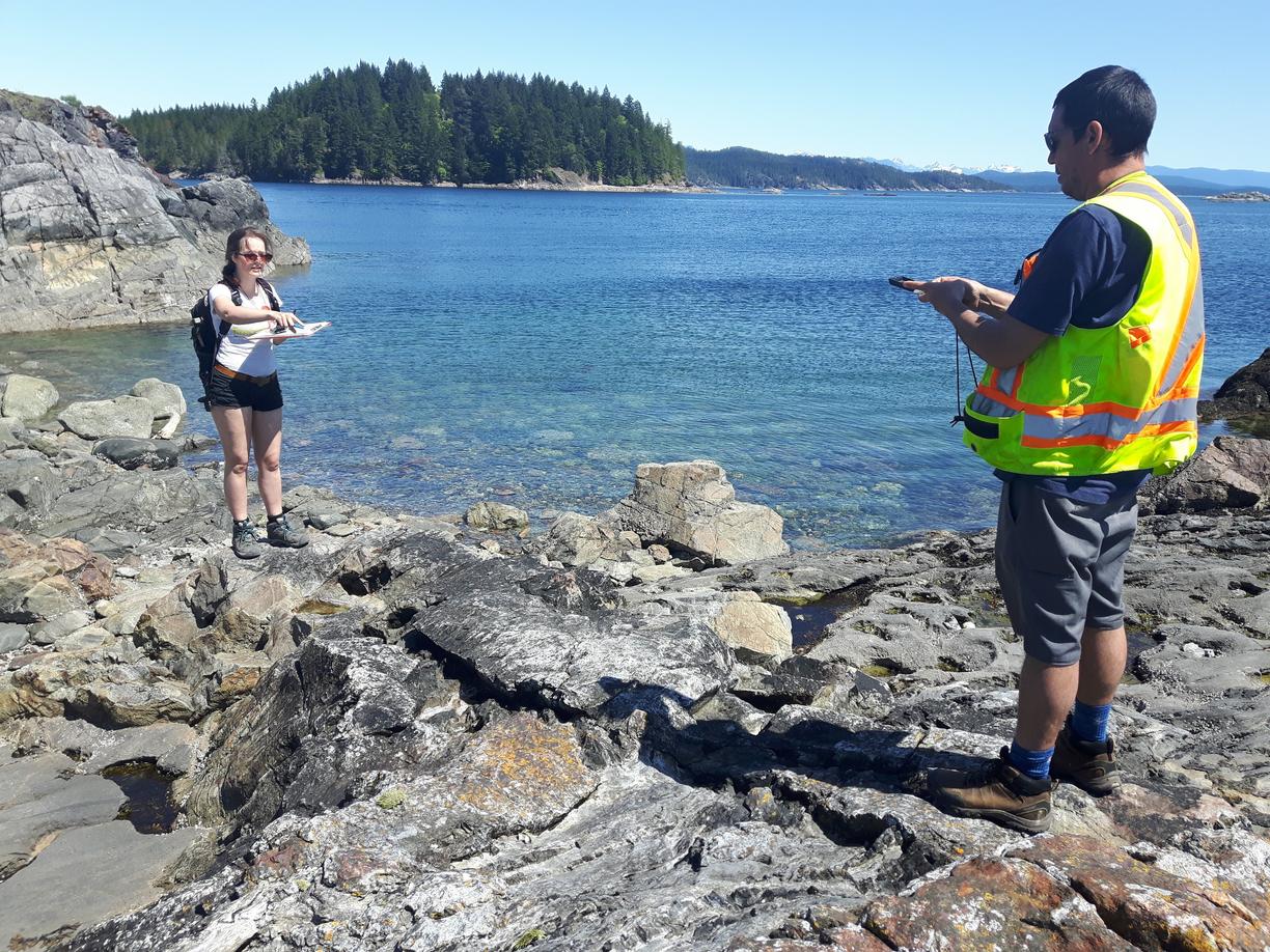
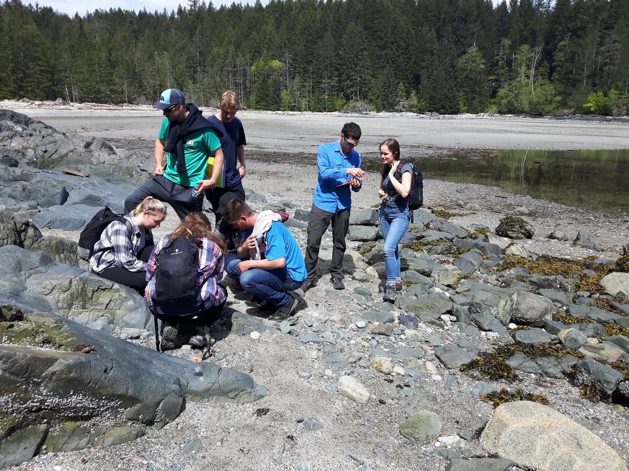
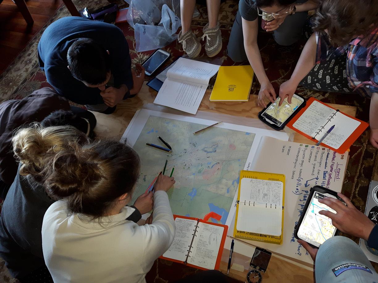
Students will make geological observations in the field, record this data in field notes, and plot the data onto base maps. Topics include field safety, logistics, navigation, interpretation of geological data, geological maps, and communicating geological information.
Prerequisite: 9 credits of 200-level GEOL courses. These courses may be done concurrently.
Credits: 3
Here are pictures from one of our previous field schools on Quadra Island.